Mount Rae – Highwood Pass Area

Photo taken from top of Mt. Tyrwhitt

Unseen part of route which heads up to the col

Final slope from the col, fairly steep and slabs
T - In the distance is Mt. Tyrwhitt
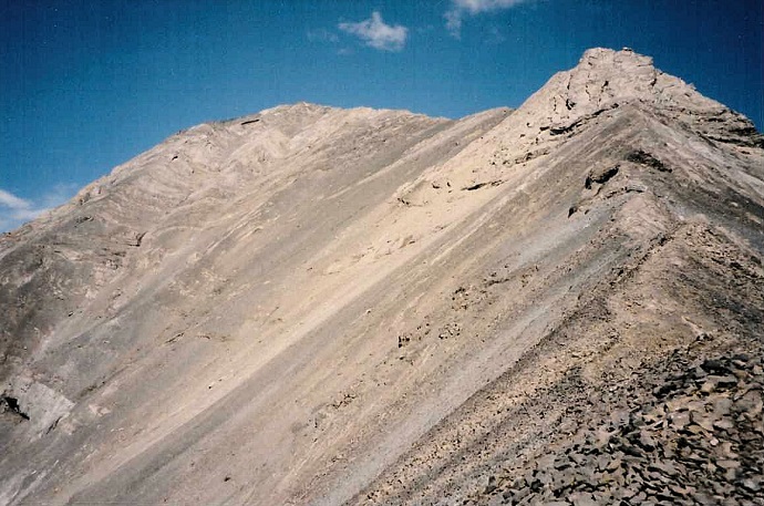
Looking up from the col, faint trail,
then you have to pick the best route so route finding skills required. Not a
slope I would want to be on with snow on it, wait till dry for the safest
time.
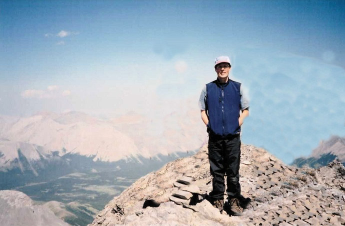
AA on the summit
Mount Rae
Scramble: Class 2 – Steep Hiking, Slab Sections, Use of Hands
Altitude: 3,218m (10,555 ft)
Ascent Time: 2 1/2 – 3 1/2 Hours
Elevation Gain: approx. 1,000m (3,280 ft)
Best Season to Scramble: Late July to early September, best when final
slope is dry, only recommended for the experienced when snow on final slope.
Highlights
This scramble starts at the Highwood Pass and the first part is
the Ptarmigan Cirque trail (a beautiful hike on its own). The summit offers tremendous
views of the Elbow/Kananaskis areas to the north with many peaks readily identifiable.
Bears frequent this area, check with the Barrier Lake Information
Centre on highway 40. Rangers post warning signs when necessary. Make lots of noise when
hiking.
Getting There
Head west out of Calgary on the TransCanada highway # 1 for
79km (49.4 miles) and take the Kananaskis Country Highway 40 turnoff and head south. If
your base is Banff head east on the TransCanada for 52 km (32.5 miles) and turn south on
route as above. Drive south for 69.5km (43.4 miles) to the Highwood Pass (Meadows) parking
lot. Toilets here.
Route Description
Head down the road or interpretive trail a few hundred yards,
cross over the road and take the Ptarmigan Cirque trail 2.2km 180m (600ft) elevation gain.
From here follow the trail into the back part of the cirque, the trail heads left (north)
up a steep section to the col. From here you can see the final slope to the summit. As the
trail (faint here and there) curves up and around the slope keep lower down than the ridge
until you are almost at the summit. The final slope involves some slabs which you must
traverse and some route finding near the end for the easiest way.